News | Posted October 12, 2026
Putting data into practice: our Digital Mapping Hackathon with Perth and Kinross Council
Our Digital Mapping Hackathon brought people together to explore real places using freely available spatial data, identify local challenges and turn their findings into ideas
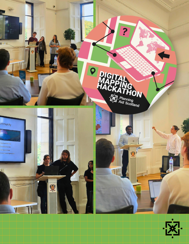
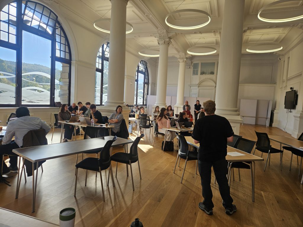
Around 20 people joined Planning Aid Scotland and Perth and Kinross Council for a hands-on Digital Mapping Hackathon, using real-world data to explore places, identify issues and develop ideas through mapping and spatial analysis.
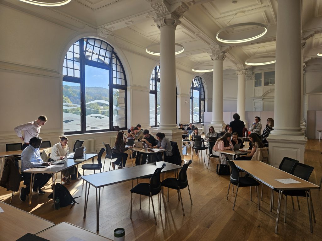
Many of those attending were students from the University of Dundee. In-person training events like this can be particularly valuable for planning students, giving them an opportunity to apply their learning to practical challenges, work with real datasets and digital tools, and learn alongside other students and planning professionals. They also offer a safe space to ask questions, exchange ideas and build confidence in skills that can be taken into future planning work.
The session gave participants the opportunity to work with ArcGIS and QGIS, explore datasets including SIMD (Scottish Index of Multiple Deprivation), and think about how different sources of information can help us understand an area.
Working in groups and against the clock, participants had to decide which data was useful, identify a problem or opportunity, and develop their ideas into a proposal.
From datasets to real places
One of the strongest themes from the feedback was learning how to move from looking at a dataset to understanding what it can tell us about a real place.
Eight participants felt that the training provided them with a better understanding of the context behind real-world data. This included interpreting datasets more confidently, seeing information spatially on a map and sorting through different sources to identify an issue.
Participants also reflected on the importance of local knowledge and thinking critically about what to consider when analysing an area. For those less familiar with Perth and Kinross, the exercise offered an opportunity to explore the local context through data while working alongside others who could bring different knowledge and perspectives.
Building digital mapping skills
Developing GIS skills was another major part of the day.
Participants worked with both ArcGIS and QGIS, with feedback ranging from learning the basic functions of QGIS to using ArcGIS at a much higher level. Others highlighted learning how GIS could be used as a main tool for developing and presenting a proposal.
For some, the session was an introduction to digital mapping. For others, it was an opportunity to rebuild skills they had not used for some time.
One participant described how they had developed their knowledge of QGIS and its potential for presenting information, while another highlighted learning how to apply SIMD and ArcGIS skills to real examples.
Working together and under pressure
The Hackathon format also introduced another challenge: time.
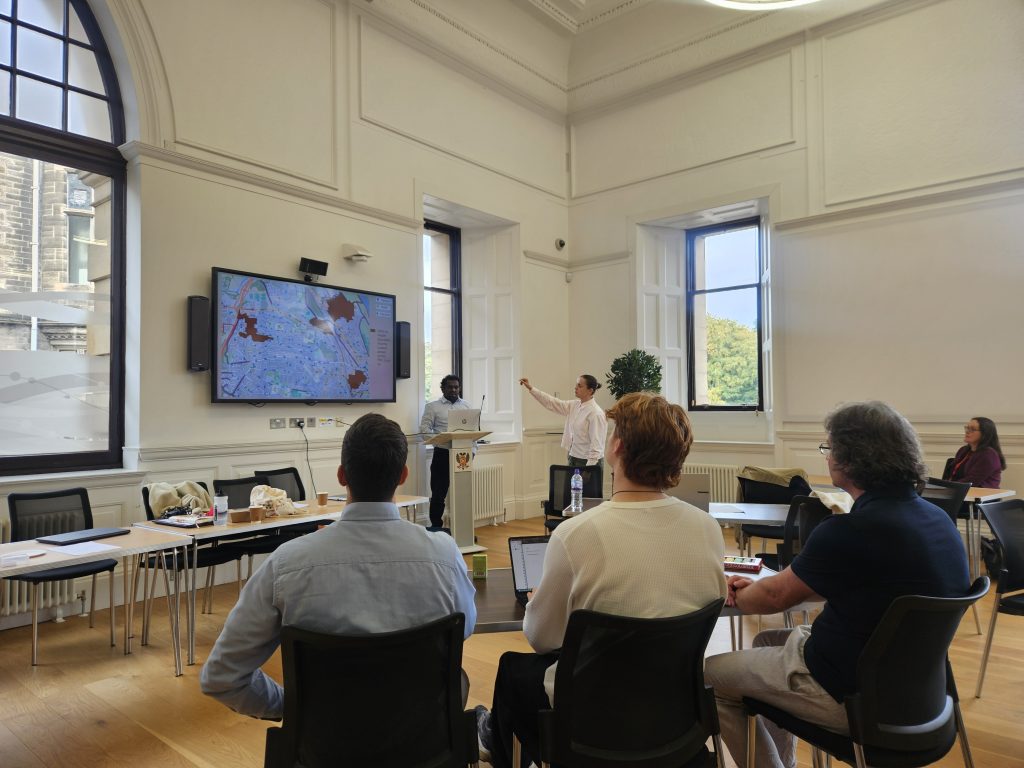
Groups had to analyse information, agree on a direction and prepare their ideas within a limited timeframe. Participants highlighted learning to analyse information under pressure and work effectively within a time constraint.
There was still freedom to decide what to investigate and where to take each project, which several participants valued. Feedback on the brief described its wide scope as helpful in allowing groups to develop a range of different proposals.
Working with other planners and being able to bounce ideas off each other were also highlighted as useful parts of the day. For students in particular, working face-to-face with others on a shared planning challenge offered a different experience from classroom-based learning, with opportunities to discuss approaches, test ideas and see how other people tackled the same brief.
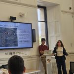
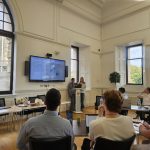
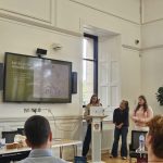
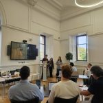
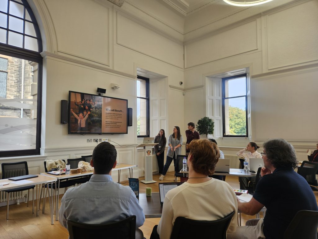
At the end of the session, groups presented their ideas, bringing together their analysis, mapping and discussions from throughout the day.
Support throughout the day
Support was one of the most frequently mentioned things that worked well.
Participants highlighted the availability of people who could help with both ArcGIS and QGIS, alongside the friendly and open atmosphere of the session.
One participant, who described themselves as a complete beginner, said:
“I’m so glad I was able to attend. Task, timing, support, friendly/open environment. As a complete beginner I was made to feel at ease.”
Accessibility, group work and the content of the session were also highlighted positively.
The feedback suggests people came away with something practical:
- 14 participants said they felt they had learned something
- 11 said they had gained skills
- 11 felt better equipped to engage with their community
- 9 people said they felt better equipped to support their community.
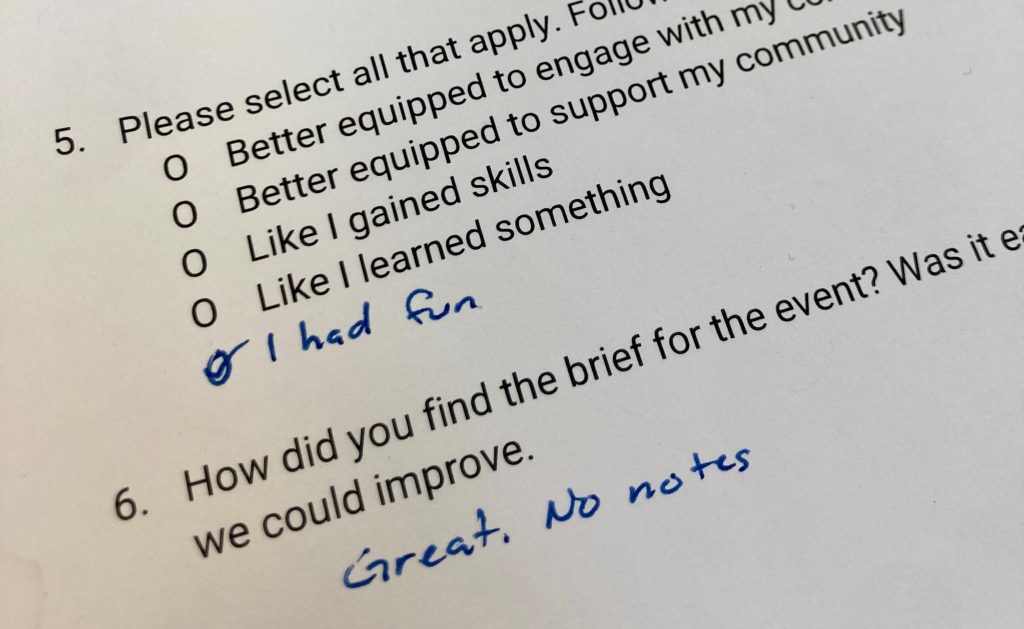
One participant even added their own extra feedback option:
“I had fun.”
The Digital Mapping Hackathon was delivered by Planning Aid Scotland, with support from staff at the University of Dundee and Perth and Kinross Council